Getting America Back to Work Using DronesModerated by Grant Guillot, Partner at Adams and Reese LLP, this webinar will address the many ways we can, should, and are able to get America back to work using drones. A panel of five industry-leading experts—who have all found ways to survive and thrive during this period—will discuss how the industry can redefine and pivot their operations to adjust to and leverage today’s new way of doing business. Thursday, May 21st from 4:00 to 5:30 PM ET.Gamers and GIS Analysts Unite!In this Geospatial Distancing episode, we'll discuss the challenges of using real-world geospatial data sources with game engine technology to meet the emerging 3D visualization and simulation needs of the construction, defense, urban planning and environmental planning markets. Thursday, May 21 10 A.M. PT / 1 P.M. ETNGA Tech Focus Area: Artificial IntelligenceA revolution in geospatial AI is driving the urgent technology needs of the GEOINT community. Built on a modern software environment and data management framework, AI is a necessary force-multiplier for advanced analytics and modeling capabilities. Machine-assisted technologies, such as computer vision, endeavor to automatically detect, extract, and attribute features and objects in imagery and video. This panel will discuss where we are in this journey and where we are heading. Wednesday, May 27, 1-2 p.m. EDTLearn more about the Virtual ESRIUCThe event will include a combination of livestreamed sessions, interactive components, and on demand content. In particular, the Plenary Session will be livestreamed; technical sessions will include a live Q&A; the Expo will offer real-time networking opportunities; and user presentations will be prerecorded. Stay tuned—we will be sharing more details in the near future.Commercial UAV Expo Europe 2020 Shifts to Virtual Event as Part of Hybrid Amsterdam Drone WeekCommercial UAV Expo Europe 2020 is going virtual, according to event organizer Diversified Business Communications. Details will be forthcoming, but the content will include keynotes, panel discussions, and presentations with interactive Q&A and chat features; an AI-powered networking component; and virtual exhibits, presentations and demonstrations by UAS solutions providersLearning From Home with USGSStudents of all ages can always tap into the USGS Resources for Teachers for over 140 years of USGS research in the natural sciences in the form of lesson plans and activities, maps, podcasts, online lectures, videos and animations, and much more.COVID-19 GEOTECH TIPEsri Business Partner, Bay Park Data Solutions (@BayParkds), has developed an employee health survey solution to assist companies in developingh a #COVID19 health plan. These include customizable surveys for any client, employee, contractor and automated email results to manager.Training materials and recorded webinars from SimActiveSimActive has covered numerous topics over the months, including:- Aerial triangulation - DSM generation - DTM extraction - Orthorectification - Mosaic creation - DEM editing - Mosaic editing - 3D model generation And much more!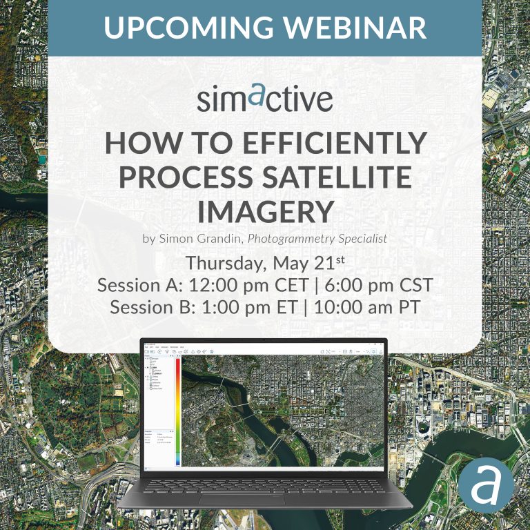 The GeoGeeks At Home PodcastSit in on some casual discussions between GISuser founder and managing Editor, Glenn Letham, and industry professionals from around the World. There's 7 episodes published with more in the works! Available on most popular Podcast services including Anchor, Spotify, Soundcloud, google Podcast, Apple iTunes and more! Listen and Learn from GeoGeeks at Home during the #Coronavirus - Learn More
| ||||||||||||||||||||||||